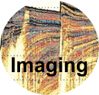

Marine Geophysics: Seismic and Acoustic Imaging of ...
... Depositional Processes - Sedimentary Structures - Active Margin Tectonics - Volcanism - Geohazards - Salt Tectonics - Fluid Seepage - Gas Hydrates - Mass  Wasting - Paleoceanography - Glaciations in Baltic and North Sea - Sequence Stratigraphy - Wind Farm Soil Investigation - Seismic Inversion - Cable and Boulder Detection - High Resolution 3D Seismic - Lake Research - Continental Drilling - Ocean Drilling - Water Column - Seismic Oceanography
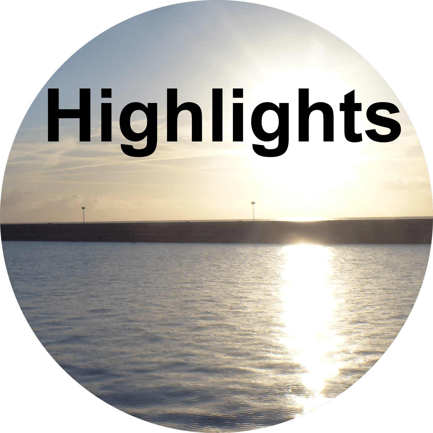
Highlights of 30 years - Track Record of MTU
Research Themes - of Projects and Cooperations
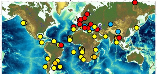
Study Regions Worldwide - Focus Regions of MTU Studies and Cooperations
Projects - funded by DFG, DBMF, BMWi & others
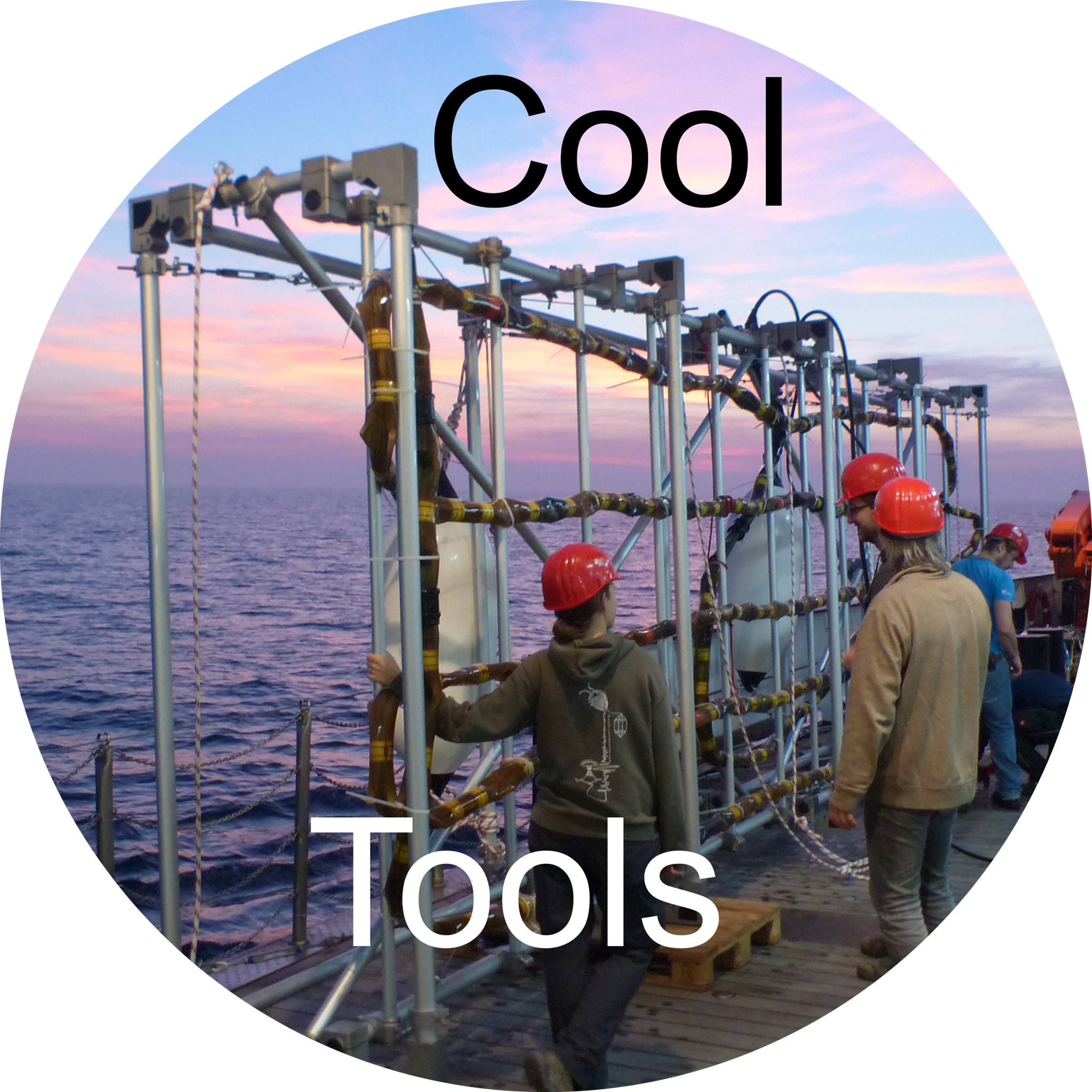
Technology Development - Our Software and Hardware
Software Tools - open source, commercial and custom-made
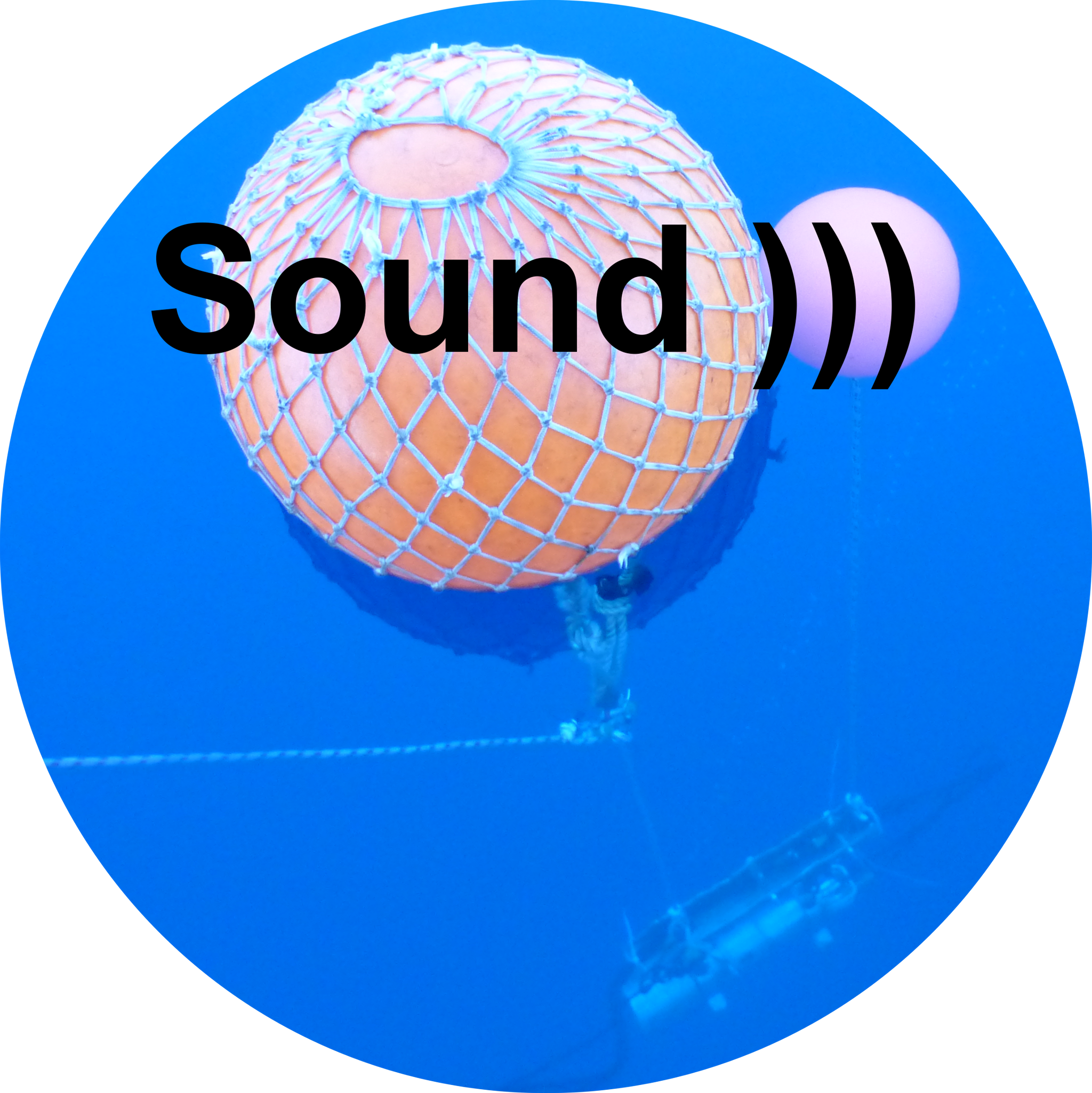
Biologic Impact of Seismic
Irish Sea - summer 2024
Alkor Students Baltic Sea - late summer 2024
Finland Geological Survey - late summer 2024
Atair BSH - German North Sea
SO304 - 19.2.-4.4.2024 Bengal Shelf - Colombo-Colombo
We are contributing to more than 20 lectures and courses in the Bachelor and Master Programs of the Department of Geosciences
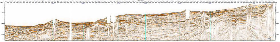
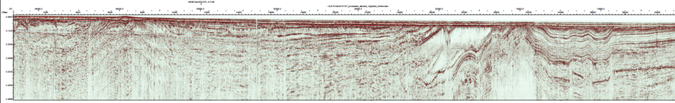
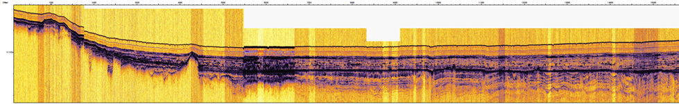
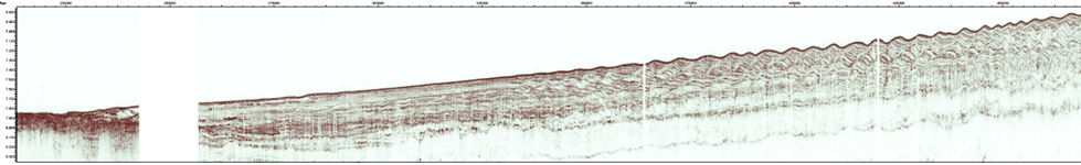
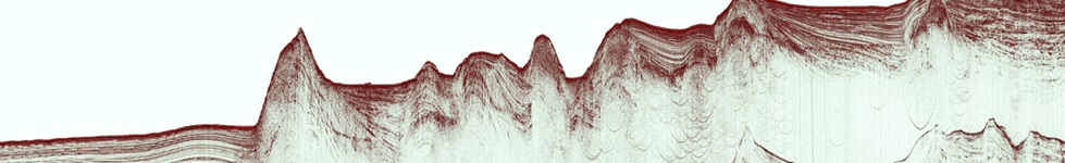
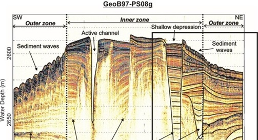
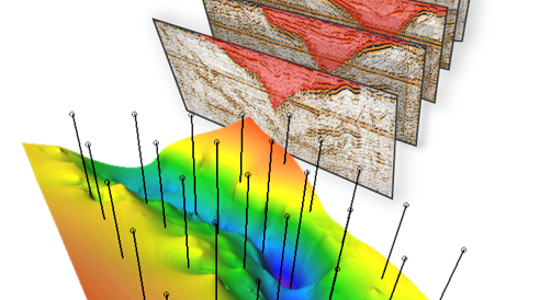
Our focus is on seismoacoustic data acquisition, processing and interpretation and sedimentary processes from meter to margin scale.
Practical computer courses are given in seismic processing and interpretation and field acquisition as well as multibeam and side scan sonar processing.
Upcoming Winter Courses with MTU Contributions >>> more
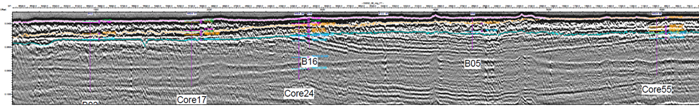
Wilckens, Henriette, Schwenk T., Lüdmann T., Betzler C., Zhang W., Chen J., Hernández-Molina J., Lefebvre A., Cattaneo A., Spiess V., Kasten S., Miramontes E. (2023) Factors controlling the morphology and internal sediment architecture of moats and their associated drifts. Sedimentology,
Warnke, F., Schwenk, T., Miramontes, E., Spiess, V., Wenau, S., Bozzano, G., Baqués, M., Kasten, S. (2023) Evolution of complex giant seafloor depressions at the northern Argentine continental margin (SW Atlantic Ocean) under the influence of a dynamic bottom current regime. Frontiers in Earth Science, 11.
Xing, Junhui, Spiess V. (2022) Late Miocene-Quaternary Sedimentary Environment Evolution of the Kerch Seep area, Black Sea. Marine Geology
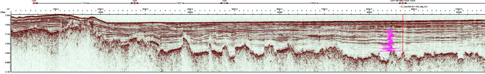
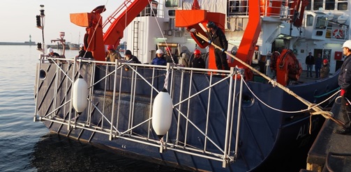
We are hosting seismic and acoustic data from more than 100 expeditions since 1986 carried out or contributed by members of the MTU working group.
The data can be shared on request for further scientific work and cooperation.
The data mangement and visualization system SESAM is under construction.
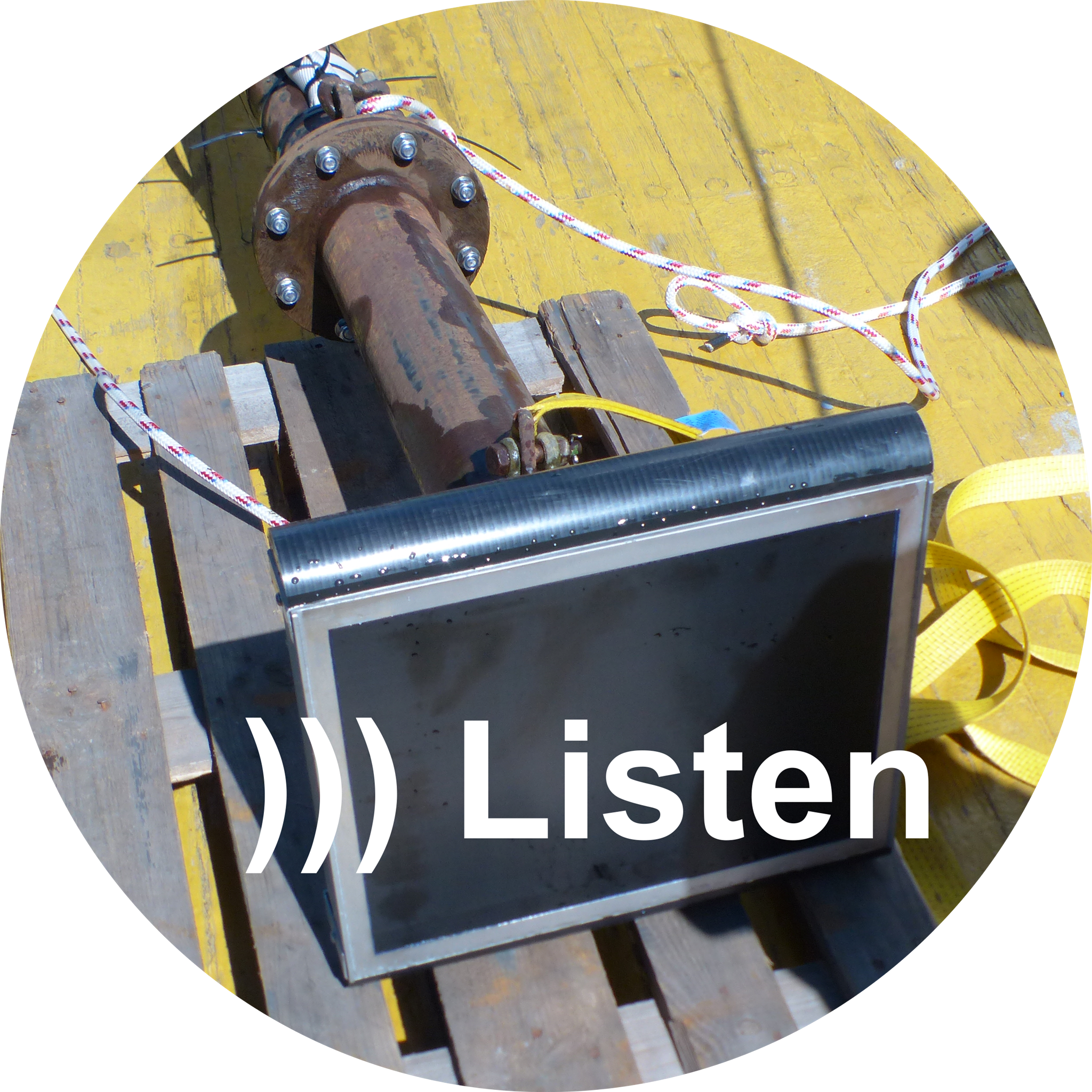
- Cable Detection
- Synthetic Coring - Seismic Inversion
- Wind Farm Soil Investigations
- Himalayan Erosional Fluxes and Bengal Fan Sediment Budget
- Lake Issyk Seismic Stratigraphy and Tectonics
- Campi Flegrei 3D Deep Seismic Imaging
- ICDP Nam Co Drilling
About Us ...
... we are a small working group of enthusiastic (mostly young) scientists, who like to visit the world’s oceans on research vessels for the search of new scientific problems, which can be solved with geophysical methods.
The small staff around the leading professor (Volkhard Spiess) with a senior scientist (Tilmann Schwenk), our technical specialist (Hanno Keil) and a secretary (Angela Friedeberg), started work in 1994 as one of currently 21 working groups in the Department of Geosciences (GeoB) at the University of Bremen. See also staff info about all our project researchers.Our research focus is seismics, hydroacoustics, data management and all kinds of interdiscplinary Earth science projects, where geophysical imaging can contribute to. The infrastructure available in our group includes marine streamers, echosounders, data acquisition systems and software for processing, interpretation and data handling and management.
Teaching covers the whole range of geophysical education on undergraduate and graduate level within the bachelor and master programs of Geosciences (in German and English) and Applied and Marine Geosciences (in English).
Links

The geophysicists of the Department of Geosciences at Bremen University
are organizing the Annual Meeting of the German Geophysical Society
(DGG) in March 2003.


- Chair: DGG Arbeitskreis Mareine Geophysik - Dr. Hanno Keil
- Chair: FKPE Arbeitsgemeinschaft Marine Geophysik - Dr. Hanno Keil
- Membership: FKPE Forschungskollegium Physik des Erdkörpers e.V. - Prof. Dr. Volkhard Spieß
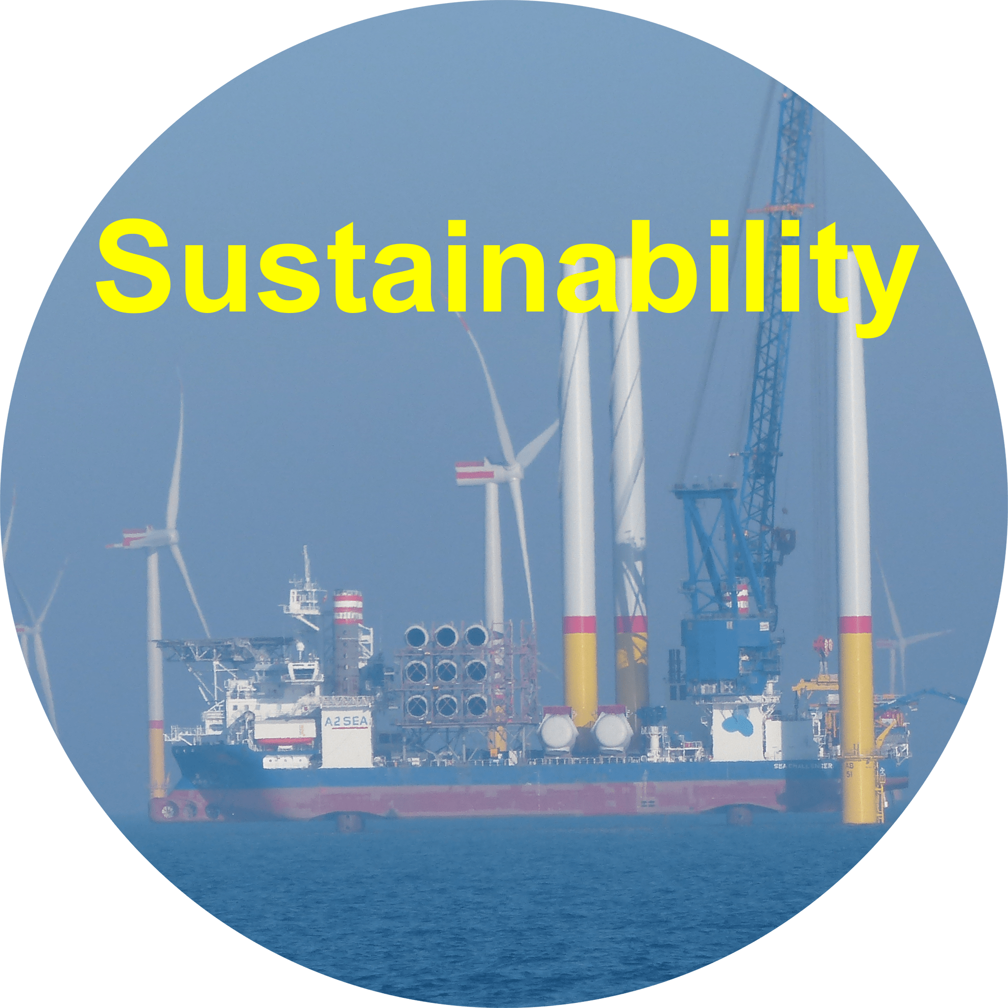
Commercial Work
Although commercial work is not our focus, we have tried to support industry initiatives for the development of renewable energies through university contracts of the Uni Bremen Campus GmbH MariSARS, the cooperation with Fraunhofer IWES and commercial partners in BMWi funded projects.


 ...
...