
River Brahmaputra-Jamuna-Ganges-Meghna, Bangladesh
Tilmann Schwenk, Volkhard Spiess
 BanglaPIRE Project (US)
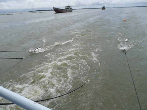
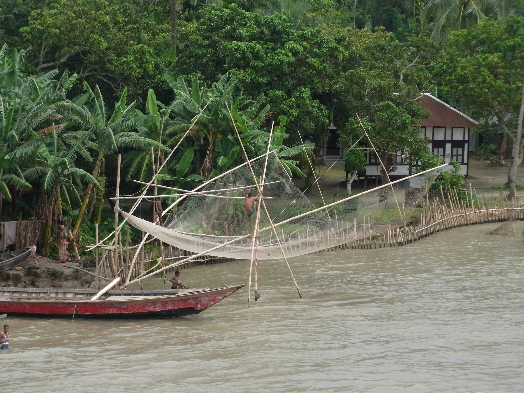
The Ganges and Brahmaputra rivers drain 3/4 of the Himalayan mountain range, carrying ~ 1,000,000,000 metric tons of sediment to the Bengal Basin, or ~7% of the world flux of sediment to the oceans. In the country of Bangladesh, these two great rivers combine with the Meghna River to form the Ganges-Brahmaputra-Meghna Delta (GBM), which feeds the Bengal Fan, the largest depositional system in the world. The delta front is so active that it advances across the shelf at 15 meters per year, and since the Eocene (35 Ma) this enormous sediment supply has built the entire continental margin >300 km seaward. The great rivers carrying this sediment load are equally dynamic. Two centuries ago, the course of the Brahmaputra River avulsed westward by up to 100 km from the Old Brahmaputra channel and has since captured other major rivers. The primary mouth of the Ganges has shifted 100s of km eastward from the Hooghly River near Calcutta to other channels over the last 400 years, finally joining the Brahmaputra River in the 19th century.
 One of the key questions for the whole country of Bangladesh is the underlying tectonic activity and associated subsidence rate. The >10 km sedimentary basin is continuously compacting and thus a balance of subsidence and sediment supply is needed to keep the delta surface above sealevel.
BrahmaSeis Project of MTU
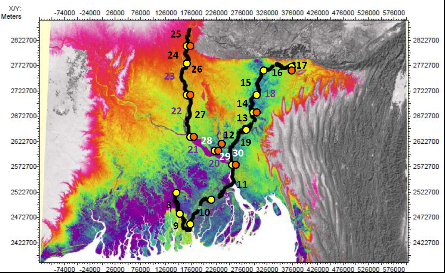
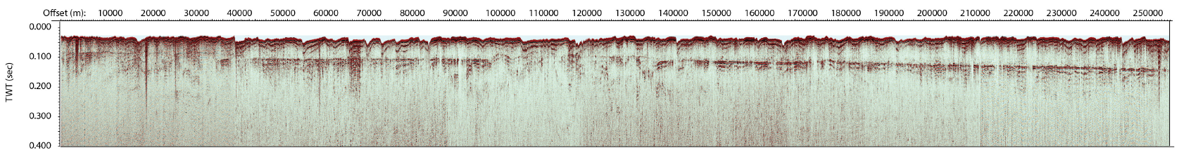
The Brahmaseis cruise was organized jointly by our colleagues from Columbia University, Vanderbilt University and MTU to collect low-frequency multichannel seismic data across the country, hopefully determining regional subsidence pattern. Drilling inside the country has provided depth information of the datable, last glacial land surface, and the seismic lines along the rivers Meghna, Ganges and Jamuna/Brahmaputra should allow to determine a continuous depth image. To the North, tectonic activity was studied in the subsurface seismic record, associated with collisional structure around the Shillong Plateau.
 Michael Steckler's Blog of the Cruise:
Jumping Ship, 9/25/2011
Cruising up the Brahmaputra, 9/23/2011
Excursion to Dhaka, 9/21/2011
To Meghalaya and Back, 9/18/2011
Return to Jamalganj, 9/16/2011
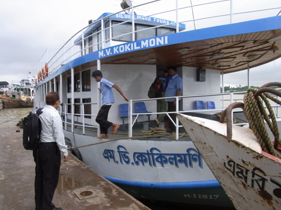
Joining the Kokilmoni, 9/14/2011
Glacial Lake Flood Burst
Subsidence History
Cruise Facts
Duration: 08.09.11 - 28.09.11
Vessel: Kokilmoni
Participants: Spiess, Schwenk, Palamenghi
Funding: DFG, PIRE
Data sets:
- MCS, Hires digital 50 m 48ch, mini GI
- Chirp (Vanderbilt)
Publications
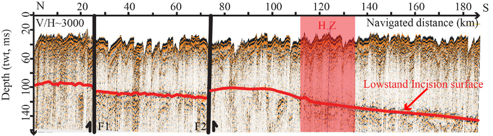
Pickering, Jennifer L., Diamond MS., Goodbred SL., Grall C., Martin JM, Palamenghi L., Paola C., Schwenk T., Sincavage RS., Spiess V. (2019) Impact of glacial-lake paleofloods on valley development since glacial termination II: A conundrum of hydrology and scale for the lowstand Brahmaputra-Jamuna paleovalley system. GSA Bulletin 131 (1-2), 58-70, https://doi.org/10.1130/B31941.1, (PDF).
Grall, Celine, Steckler MS., Pickering JL., Goodbred S., Sincavage R., Paola C., Akhter SH., Spiess, V. (2018) A base-level stratigraphic approach to determining Holocene subsidence of the Ganges–Meghna–Brahmaputra Delta plain. Earth and Planetary Science Letters 499, 23-36, https://doi.org/10.1016/j.epsl.2018.07.008.
Expedition
Jamuna-Ganges-Transect
 x
x