Geophysical Surveying
MSc-1 Geophysical Survey Strategies and Planning (Spiess, Keil, Schwenk)
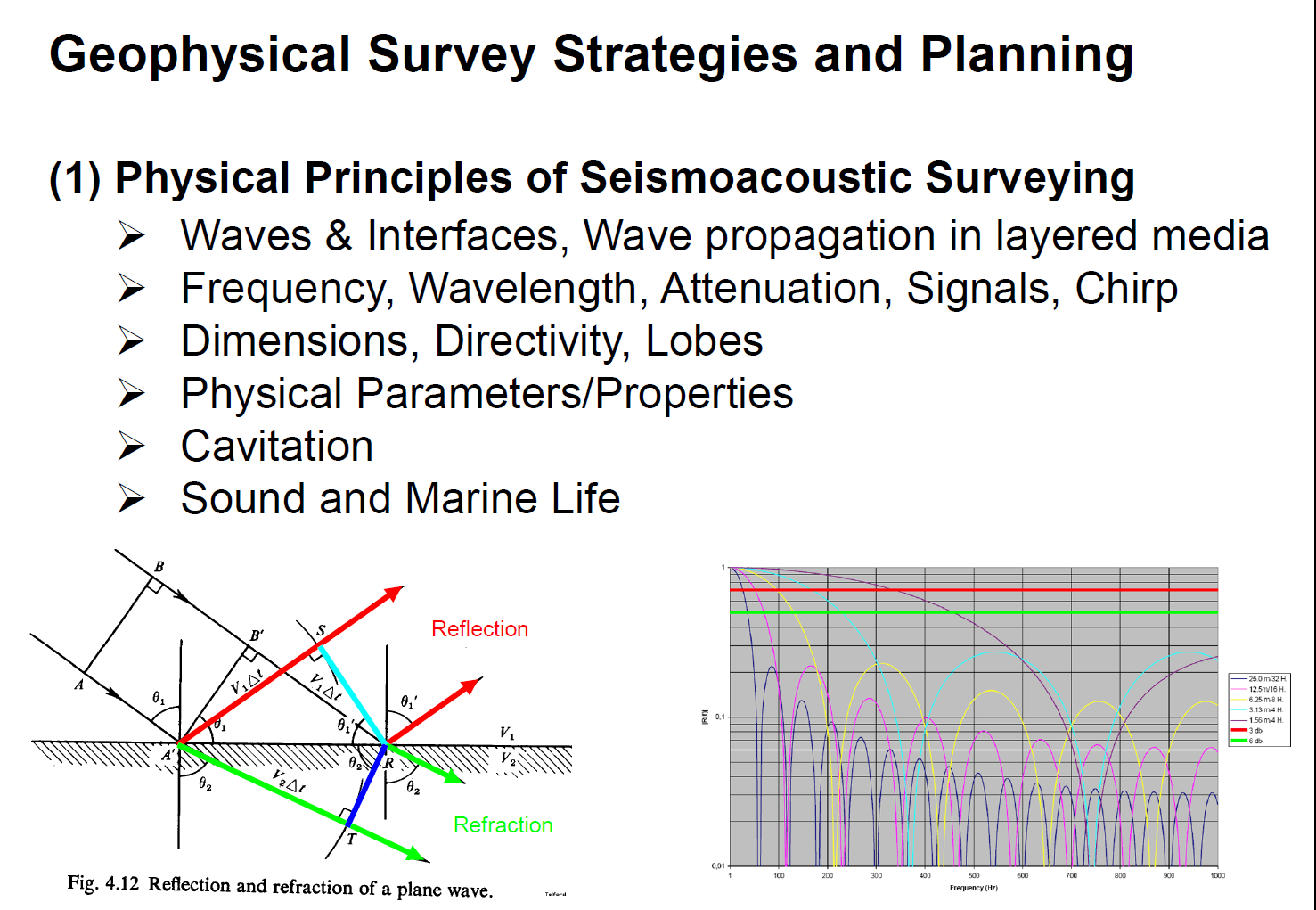
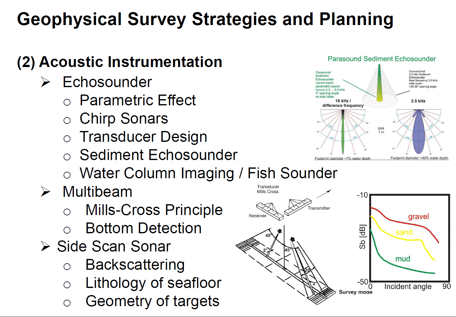
Marine geophysical surveying is a key tool to investigate and understand processes of sediment transport and deposition, to image structures, to quantify soil properties and treconstruct tectonic movements. Various tools are available, characterized by their frequency and technical design to serve various purposes.
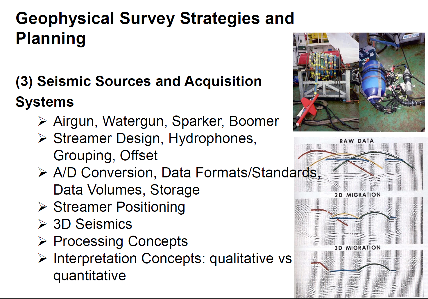
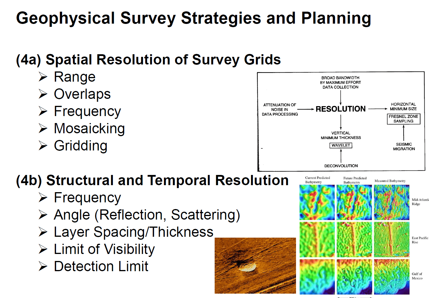
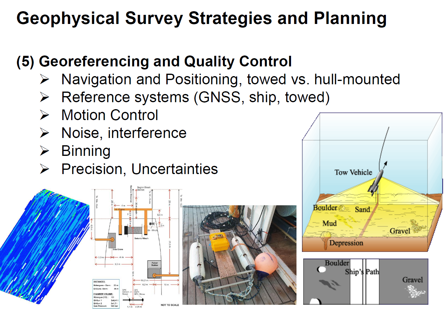
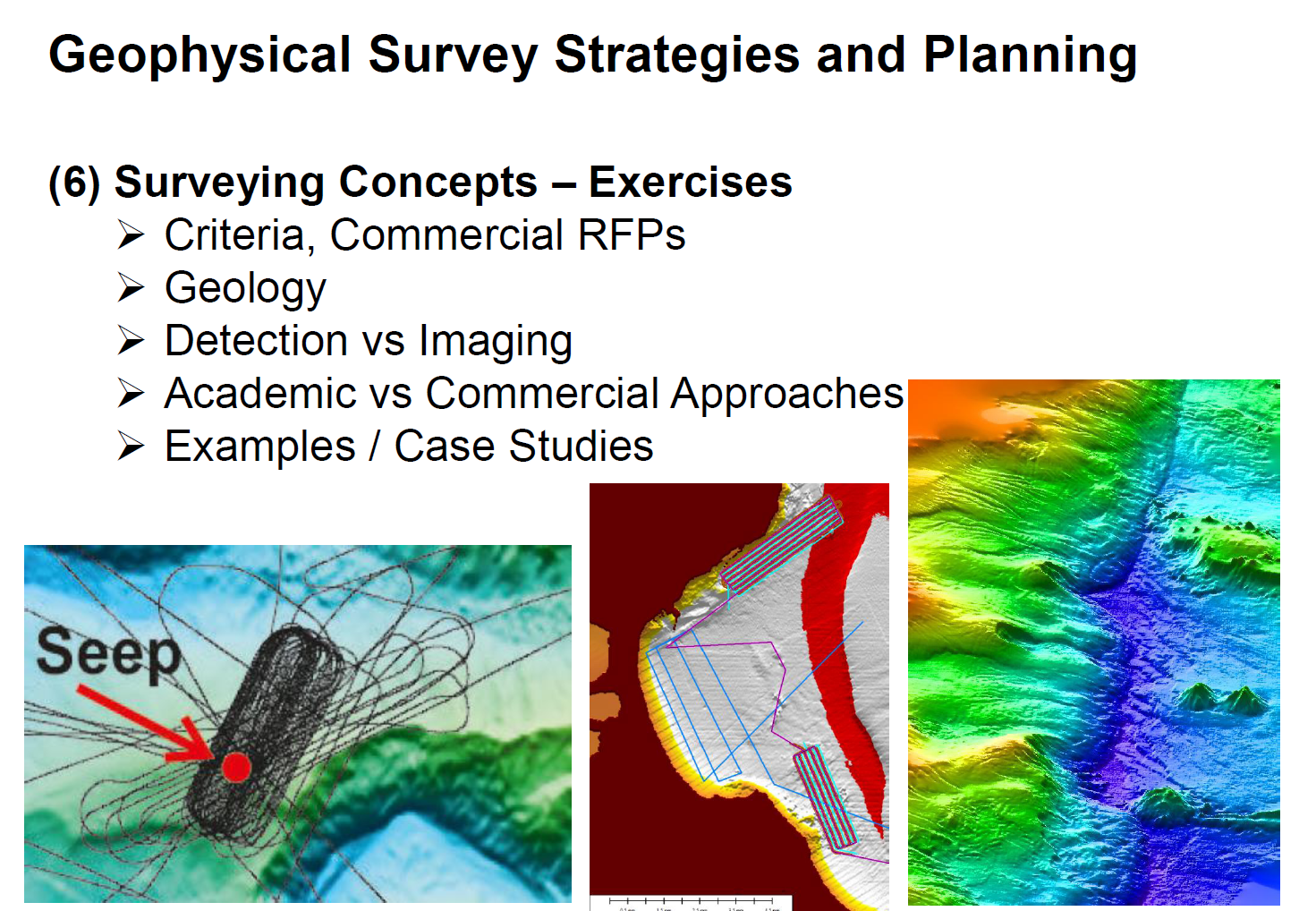
The lectures introduces into the physical principles, types and design of echosounder and seismic instrumentation, characteristic parameters such as resolution and penetration, aspects of positioning and georeferencing and case studies.
>>> FB5 Applied Geophysics: Module / Lecture
